The Federated National Information System of Infrastructures (SINFI) is the identified tool for coordination and transparency for the new broadband and ultra-broadband italian strategy. SINFI promotes the sharing of geographical and alphanumeric data relating to infrastructures, through an clear management of the underground and above ground and related interventions, and offers a single dashboard to efficiently manage and monitor all interventions.
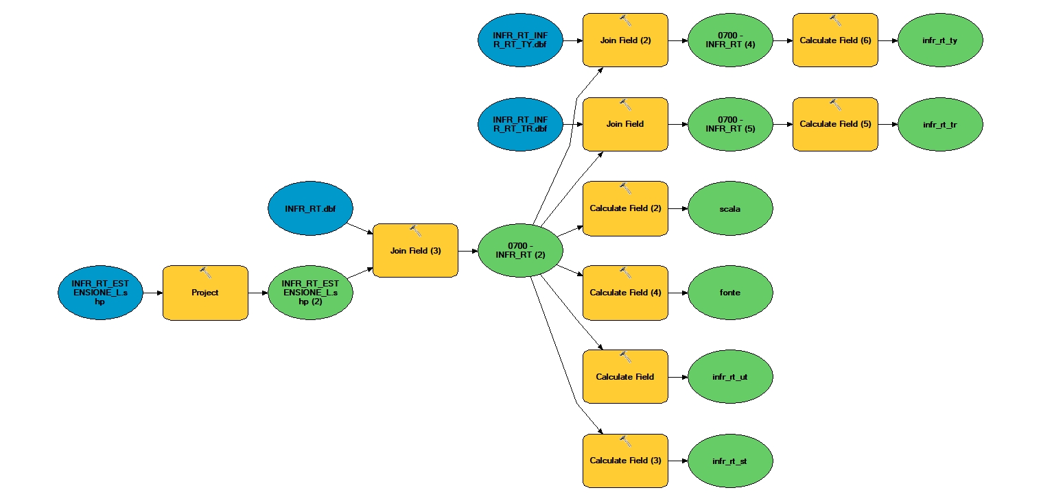
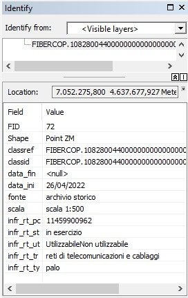
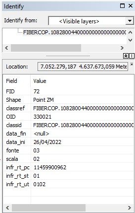
Iptsat has developed and consolidated a series of procedures aimed at making SINFI data easy to read and interpret for the end user. The proposed service aims to convert SINFI alphanumeric attributes into understandable text attributes, thanks to the use of GIS technology.
The working process starts from the study, analysis and translation of native SINFI data to create workflows and tools aimed at automating the conversion of tables and attributes into comprehensible and concise texts. These tools can be provided directly to the end user. Alternatively, Iptsat is able to autonomously follow the entire work process and deliver the results obtained to the customer.


