Mapping and census of lighting systems through night-time satellite images
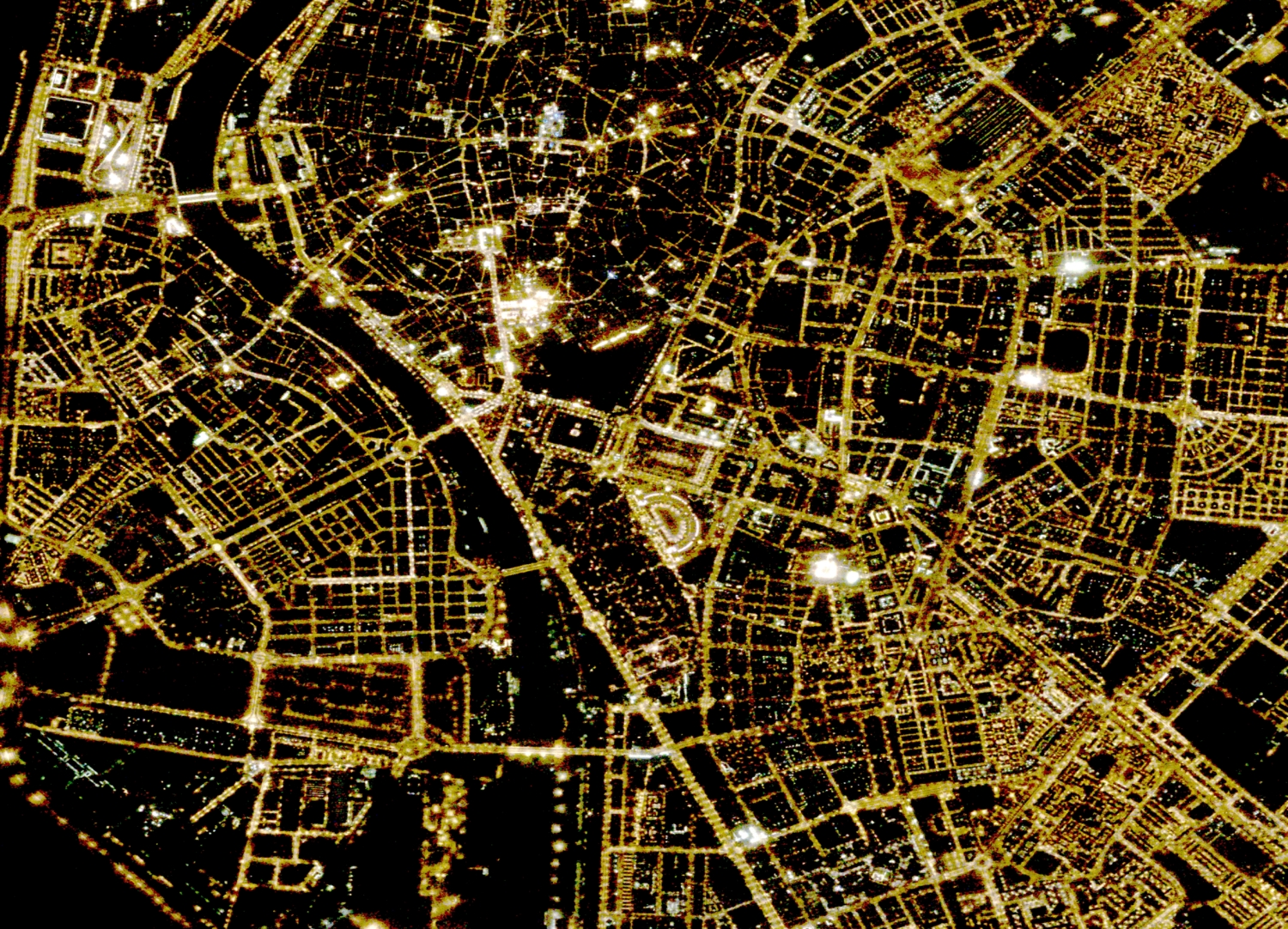
Iptsat, thanks to its knowledge in the Gis and Remote Sensing sector and the great experience in the geolocation of infrastructures in the utility sector, has developed innovative solutions for the mapping, census and control of lighting systems in urban areas and extra urban. Specifically, these services are based on solid GIS procedures that exploit the information derived from night-time satellite images at 90 cm resolution. This makes it possible to analyze large areas of the territory even several times a year.
By now, iptsat has acquired considerable experience on these technologies and procedures. In fact, he has mapped more than 500,000 light points in recent years.
Access to these services allows companies that deal with the public lighting network to geolocate and monitor their systems at sustainable costs and to avoid, in many cases, census and on-site control actions.
The objectives that can be achieved through these advanced technologies are:
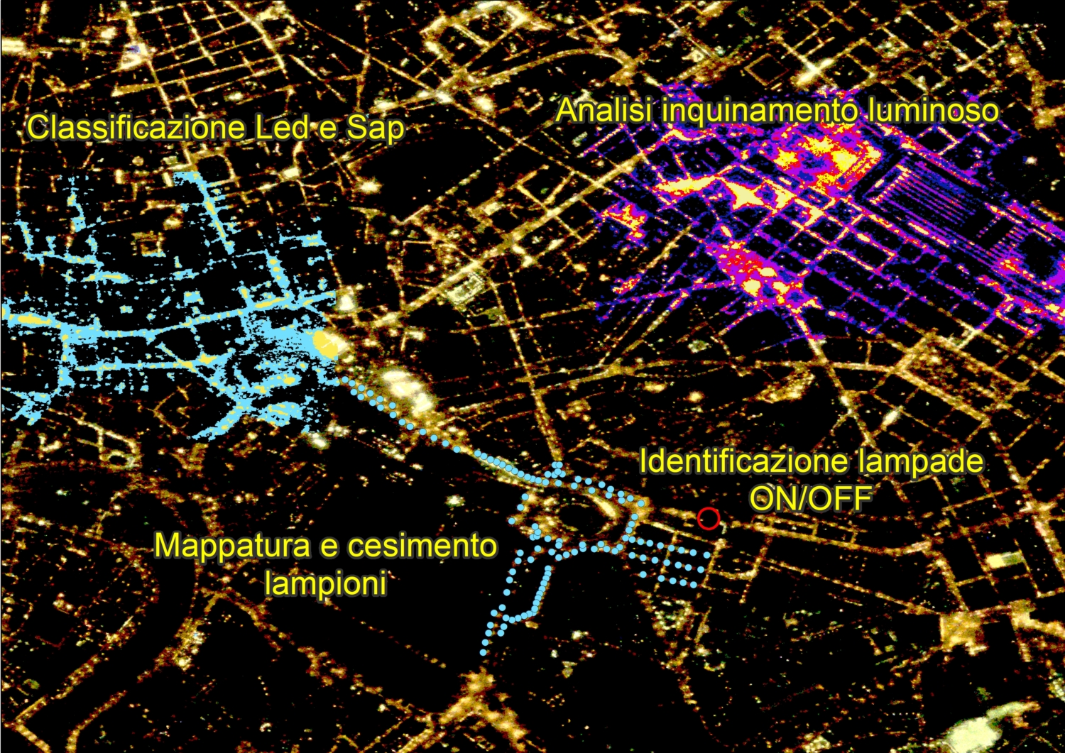
Mapping and census of public lighting systems.
The geolocation of the infrastructures can be achieved either starting from a dataset already in the customer’s possession or even without any previous data available. In the first case, the confirmed light points are indicated, those confirmed but relocated with greater accuracy, those no longer present in the area and the light points present in reality but non-existent on the customer’s dataset. In the second case a new dataset is created.
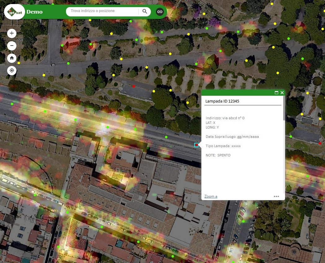
In both situations, thanks to the continuous dialogue with the customer through dedicated webapps, maximum attention is given to identifying only the public network, reclaiming the results from any lights of private origin. Finally, even possible visual obstructions, due to vegetation or anthropic physical elements, are managed within the dataset through dedicated legends and attributes, according to the customer’s instructions.
- Identification of switched off light points.
Night satellite images, in addition to being one of the main sources for allowing the correct census of the public lighting network, are a fundamental data for identifying which light points are actually on and which ones are off. This allows you to remotely monitor, at various times during the year, the actual status of the public lighting service. Consequently, it is possible to have both feedback on the reports received from citizens or professionals, and highlight malfunctions and critical issues of which we had no news. - dark area Identification
This service allows you to analyze the territory to identify areas that are not efficiently lit and help network managers in the planning and development of new infrastructures to also improve the safety of citizens. - light pollution Analysis
This service makes it possible to identify excessively lit urban or extra-urban areas (in this case also considering lights of a private and above all industrial nature) and, consequently, to help network managers, public administrators and even scholars in the analysis of light pollution. - Lamp type classification (Led/Sap)
Each type of lamp has its own spectral signature. Using these signatures it is therefore possible to automatically distinguish and classify from the satellite the different types of lamps, such as LED lamps and SAP (High Pressure Sodium) lamps.


